Hazelford Ferry & River Trent
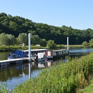
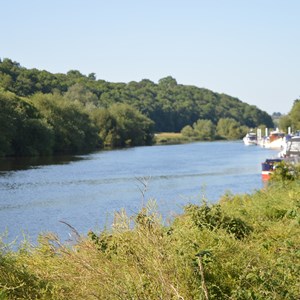
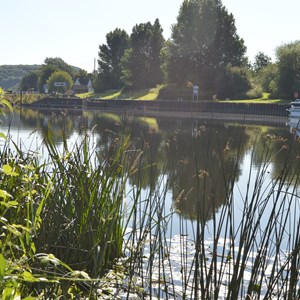
Just a short stroll from Bleasby, the River Trent meanders its way through the beautiful countryside that's the Trent Valley.
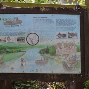
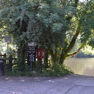
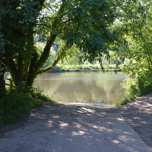
Walking from Bleasby, crossing over Gibsmere's four Lanes End, then along Boat Lane towards the river and the link with the ancient trackway of long hedge Lane, you arrive at the site of Hazelford Ferry, once used as a crossing point of the River Trent from prehistoric times to the 20th century.
The name Hazelford comes from the fact that the river at this point was once much shallower, making it fordable. Hazels may have grown on the banks here or were perhaps used to mark the route of the ford..
The first written reference to the ford is in a Saxon charter of 956 for lands around Southwell. The ferry is first mentioned in 1275 when the route was blocked by two sunken boats.
There are still traces of the site of the Ferryman's House on the south side of the river, where a small mound is visible and medieval pottery has been found.
An early road map of 1720 shows the ferry as part of the route from Nottingham to Grimsby. The building shown on the North Bank is probably Hazelford Ferry Inn (later renamed as The Star and Garter, now Hazelford Care Home).
In the 18th century, dredging work deepened the River Trent to allow passage of larger , heavier craft, eventually making it impossible to cross on foot. Although the ferry continued for some years, once Gunthorpe Toll Bridge opened in 1875, it was no longer viable.
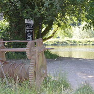
Today, the landing points are all that remain of the ferry site, although the Star and Garter Hotel (now Hazelford Care Home) still watches over this historic crossing. The raising winch was installed by 20th century boaters but remains an interesting feature.
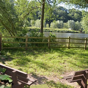
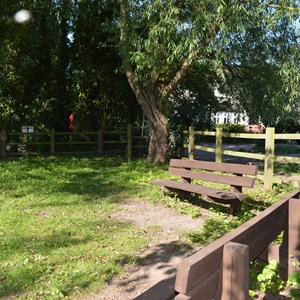
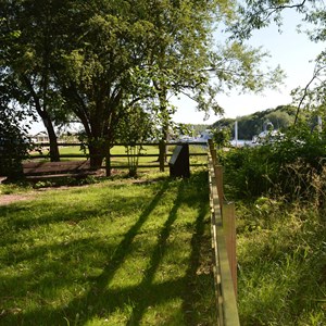
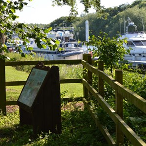
In 2018 Bleasby Paris Council adopted a small enclosure, now named Ferry End, adjacent to the crossing which is now open to the public to enjoy the beautiful views, relax and visualise the many crossings that have taken place over the centuries.
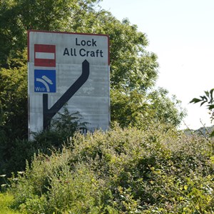
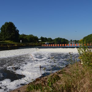
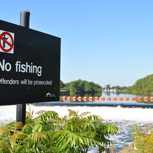
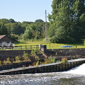
Turning left from Ferry End and heading towards Newark along the Trent soon brings you to Hazelford Lock and weir and then on to the village of Fiskerton.
The creation of the weir and locks here in 1927 made crossing by ford impossible and the ferry, together with access along Longhedge Lane, was finally stopped by the creation of the airfield at Syerston in World War II.
A right turn takes you on a lovely walk along the Trent towards Gunthorpe Lock and thereafter on to Burton Joyce and the outskirts of Nottingham.
